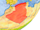
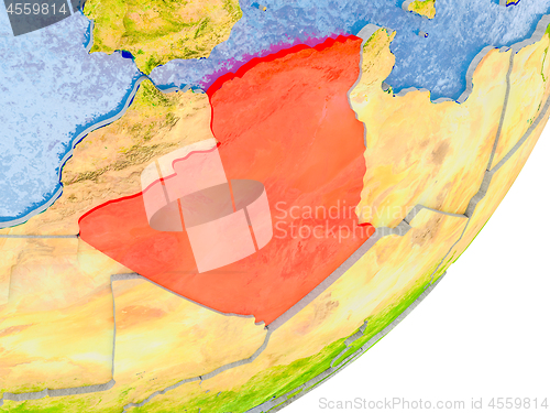
Map of Algeria on Earth
Image Id 4559814 - Image cost 1 download credit - Jpeg image
Photographer/Copyright: Tomas Griger
Specifications
File size
11.75 MB (Megabyte)
File type
Jpeg/RGB
Dimensions
(width) 5000 px (height) 3750 px
Megapixle size
18.8 Mp
Print size at 300DPI
42.33 x 31.75 cm
Orientation
Horizontal
Description
3D render of Algeria on political globe with embossed countries with real land surface and water in place of ocean. 3D illustration. Elements of this image furnished by NASA.
Link to this image: www.ScanStockPhoto.com/view_image.php?image=4559814