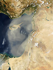
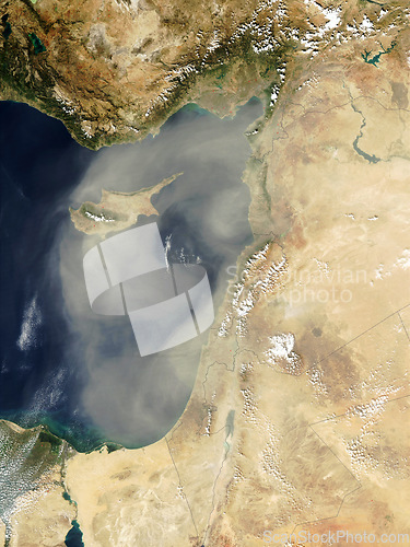
Ocean, satellite and aerial of nature on map for terrain climate, environment and coastline. Geography, planet and global, top view and atmosphere of sea, water and land for travel destination
Image Id 5179006 - Image cost 1 download credit - Jpeg image
Photographer/Copyright: Peopleimages.com
Specifications
File size
2.54 MB (Megabyte)
File type
Jpeg/RGB
Dimensions
(width) 3000 px (height) 4000 px
Megapixle size
12 Mp
Print size at 300DPI
25.4 x 33.87 cm
Orientation
Vertical
Description
Ocean, satellite and aerial of nature on map for terrain climate, environment and coastline. Geography, planet and global, top view and atmosphere of sea, water and land for travel destination.
Link to this image: www.ScanStockPhoto.com/view_image.php?image=5179006