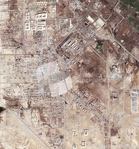
Aerial, drought map and satellite view of landscape, nature and desert outdoor with sand. Land and above with dust, neighborhood and roads with rural development from top with town and terrain
Image Id 5179044 - Image cost 1 download credit - Jpeg image
Photographer/Copyright: Peopleimages.com
Specifications
File size
13.02 MB (Megabyte)
File type
Jpeg/RGB
Dimensions
(width) 5357 px (height) 5767 px
Megapixle size
30.9 Mp
Print size at 300DPI
45.36 x 48.83 cm
Orientation
Vertical
Description
Aerial, drought map and satellite view of landscape, nature and desert outdoor with sand. Land and above with dust, neighborhood and roads with rural development from top with town and terrain.
Link to this image: www.ScanStockPhoto.com/view_image.php?image=5179044
