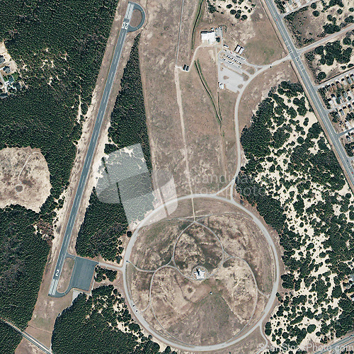
Aerial, map and satellite view of landscape, nature and desert outdoor with field. Land, trees and above with dust, neighborhood and roads with rural development from top with woods and farm terrain
Image Id 5179000 - Image cost 1 download credit - Jpeg image
Photographer/Copyright: Peopleimages.com
Specifications
File size
4.22 MB (Megabyte)
File type
Jpeg/RGB
Dimensions
(width) 3153 px (height) 3155 px
Megapixle size
9.9 Mp
Print size at 300DPI
26.7 x 26.71 cm
Orientation
Vertical
Description
Aerial, map and satellite view of landscape, nature and desert outdoor with field. Land, trees and above with dust, neighborhood and roads with rural development from top with woods and farm terrain.
Link to this image: www.ScanStockPhoto.com/view_image.php?image=5179000
