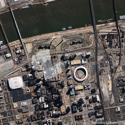
Aerial, state map and satellite view of skyline, nature and city outdoor with buildings. Land, urban and Iraq above with houses, neighborhood and roads with commercial development from top terrain
Image Id 5179023 - Image cost 1 download credit - Jpeg image
Photographer/Copyright: Peopleimages.com
Specifications
File size
3.31 MB (Megabyte)
File type
Jpeg/RGB
Dimensions
(width) 2886 px (height) 2878 px
Megapixle size
8.3 Mp
Print size at 300DPI
24.43 x 24.37 cm
Orientation
Horizontal
Description
Aerial, state map and satellite view of skyline, nature and city outdoor with buildings. Land, urban and Iraq above with houses, neighborhood and roads with commercial development from top terrain.
Link to this image: www.ScanStockPhoto.com/view_image.php?image=5179023